

Topographical surveys for all projects.
A Topographical survey is a detailed representation of an area of land and its above ground physical features.
Site Work
We use the latest Trimble total stations and GPS (GNNS) receivers. Utilising the continuous development of technology in this field allows us to provide increased efficiency and accuracy.


Post Processing
We use Trimble software to process the raw data, finalising the drawings in AutoCAD.
Final Product
We provide all our topographical surveys in 2D AutoCAD files (.dwg file format) along with PDF’s.
Additionally, we can include separate 3D data layers.
We can provide printed scaled drawings, if required
-

Agricultural & Rural
Whether it’s fields, forests, or farmyards, we can provide the topographical survey for your large-scale needs.
-

Industrial
Research facilities, depots or the office car park, accurate mapping for all industrial settings.
-
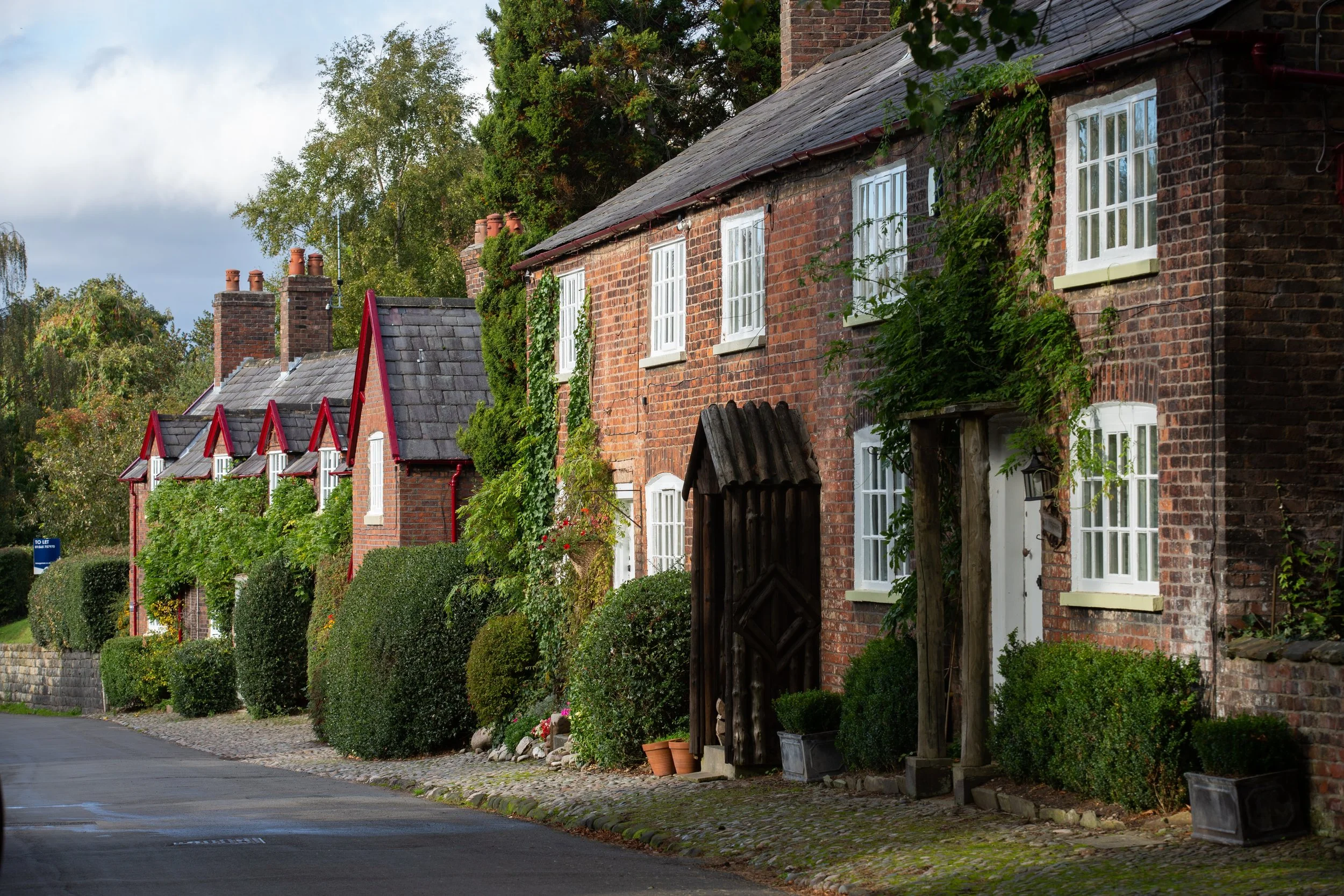
Residential
We conduct topographical surveys for any size property, to obtain all external information required.
All of our surveys can be tailored to your specific needs
Thinking of having a survey?
A quick guide to getting a FREE quotation.
Send us an email with:
The address of the area to be surveyed.
A plan view of the property/area, outlining the extents of the survey (a google screenshot with a red outline is normally easiest).
Provide some information of what you are trying to achieve with the project. This normally answers a lot of questions as to the kind of specifications you require.
Supply any other information or requirements you have. The more information the better.
That’s it!
We will then provide you with a FREE quotation and a lead time to a potential start date.